Aerial Reconstruction
The Aerial Reconstruction feature supports 3DGS reconstruction of ultra-large models using purely drone aerial photos without ground device capture data.
Workflow
Upload Aerial Data
- Aerial Data: Upload drone aerial data. The interface displays the corresponding device type.
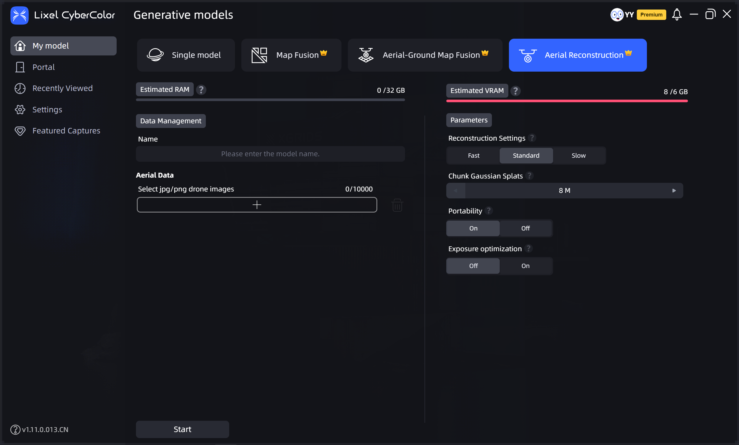
Set Model Name and Parameters
Aerial Data: Select the folder containing drone-captured images. Note the following when selecting:
- The folder should contain between 100 and 10,000 images.
- Only JPG and JPEG format images are supported.
- Image resolution must be higher than 1024×768, and all images must have consistent resolution.
Aerial Reconstruction