XGRIDSDocs
  • 简体中文
  • English
  • 繁體中文
  • 日本語
  • Deutsch
  • Español
  • Italiano
  • 简体中文
  • English
  • 繁體中文
  • 日本語
  • Deutsch
  • Español
  • Italiano
  • PortalCam

    • Product Overview
    • Basic Operation
    • Using the LCC Scan App
    • Maintenance and Care
    • FAQ
  • Lixel K Series

    • Lixel K1

      • Product Overview
      • Basic Operation
      • Device Activation and Connection
      • Scanning Workflow
      • Acquire Point Cloud Data with Absolute Coordinate
      • Map Fusion
      • Route Planning Suggestions for Typical Scenes
      • Precautions
      • FAQ
    • Lixel K2

      • Product Overview
      • Basic Operation
      • Device Activation and Connection
      • Scanning Workflow
      • Acquire Point Cloud Data with Absolute Coordinate
      • Map Fusion
      • Route Planning Suggestions for Typical Scenes
      • Precautions
      • FAQ
  • Lixel L Series

    • Lixel L2 Pro

      • Product Overview
      • Basic Operation
      • Device Activation and Connection
      • Scanning Workflow
      • Acquire Point Cloud Data with Absolute Coordinate
      • Measure Point
      • Appendix
      • FAQ
  • Lixel Studio

    • Version and Copyright
    • Installation and Activation
    • Software Interface
    • File Operations
    • Project Processing
    • Tools
    • 2D Drawing
    • Applications
    • Settings
    • Device Connection
    • FAQ
  • Lixel CyberColor

    • LCC Studio

      • Getting Started
      • Version and Updates
      • Download and Installation
      • Interface Overview and Navigation
      • Pre-Reconstruction Work
      • Model Reconstruction
      • Single Model Reconstruction
      • Map Fusion
      • Aerial-Ground Map Fusion
      • Aerial Reconstruction
      • My Models
      • Other Features
      • Settings and Account
      • Video Reconstruction
      • FAQ
    • LCC Scene Editor

      • Version and Updates
      • Account and Sign In
      • Product Overview and Home
      • Editor Interface
      • Three Navigation Modes
      • File
      • Settings
      • Edit
      • Window
      • Global Toolbar
      • Assets and Properties
      • Left Toolbar
      • Viewpoint
      • Skybox
      • Annotation
      • Measurement
      • Flythrough
      • Scene Report
      • 3D Layout
      • Preview Mode (Viewer)
      • Help
      • FAQ
    • LCC Model Editor

      • Version and Updates
      • User Guide
      • Overview and Interface
      • File Operations
      • Selectors
      • Editing Models
      • Measurement
      • Color Grading
      • Asset Management
      • Settings and Help
      • FAQ
    • Version History

Route Planning Suggestions for Typical Scenes

Different scenes have different route requirements. This chapter provides route planning suggestions for common outdoor and indoor scenes.

Overall Route Principles

  1. Ensure as rich a set of observations as possible during scanning.
  2. Avoid continuously scanning only new areas; walk some loop closures where appropriate.
  3. Minimize the influence of moving objects.

Outdoor Scenes

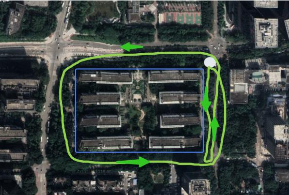
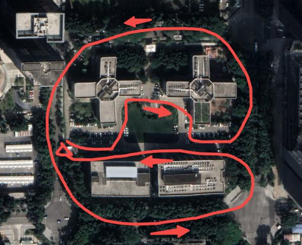
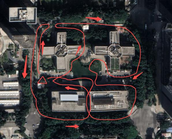
Typical scenes: parks, campuses, building clusters, etc.
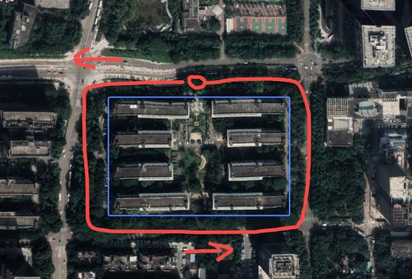
Not recommended route
Not recommended
Recommended route
Recommended
Not recommended route
Not recommended
Recommended route
Recommended

Texture-rich scenes

  • When texture and text information are abundant, point the front camera toward the scan area and scan in an up-and-down "U" pattern. Recommended scene scan speed ≤ 1.0 m/s, HD scan speed ≤ 0.5 m/s, keeping about 0.5–1 m from the target.
  • Ground markers: tilt the device downward at a small angle (less than 30°) for HD scanning.

Tip

Scan the overall scene first, then supplement local details, using the front camera to fill blind spots.
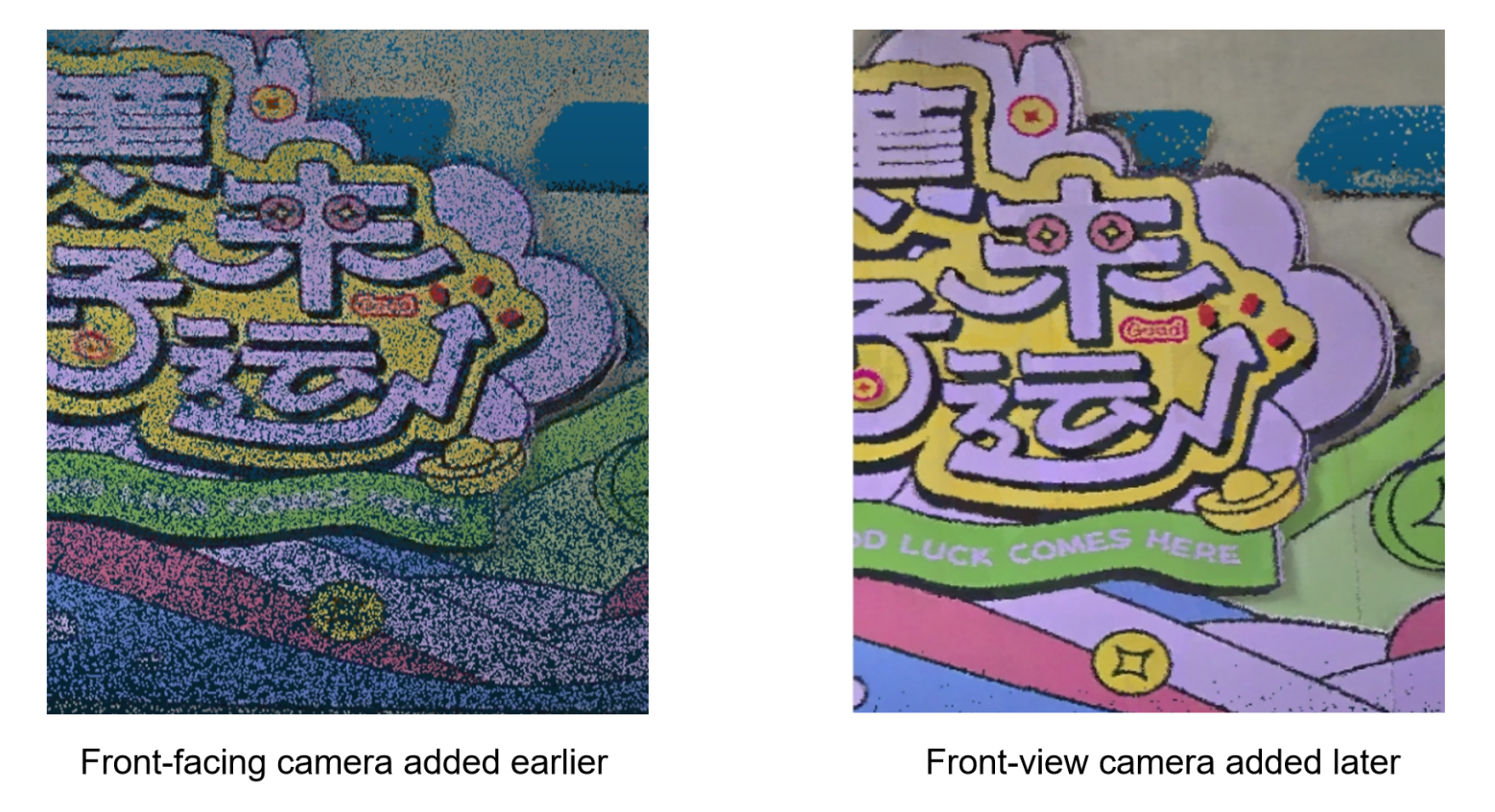
Texture-rich scene scanning
Scanning method for texture-rich scenes

Indoor Scenes

Using a common office as an example.

Route Planning

  1. Similar to a multi-floor indoor parking lot, scan top-down in a serpentine path.
  2. Use the same control point marking method as the parking lot scene, choosing absolute-coordinate control points and core areas.

Entering and Exiting Doors

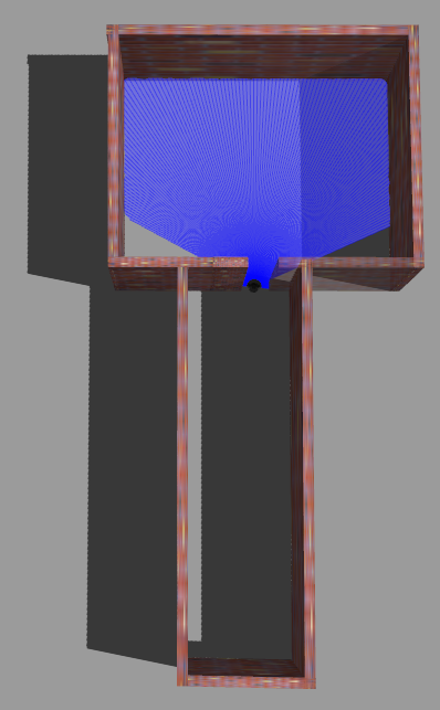
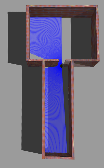
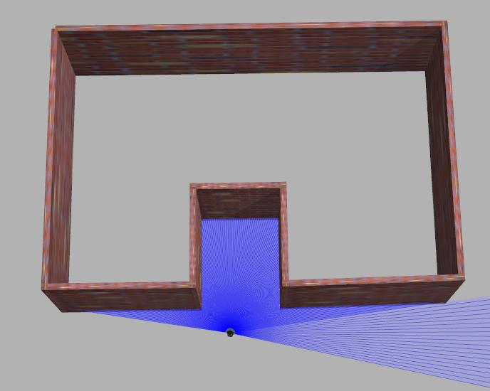
  • Wrong example: entering head-on makes the indoor and outdoor laser point clouds lose their shared field of view and reference objects, causing skewed data.
  • Correct example: enter sideways so that the indoor laser point cloud and the pre-entry scan area share a field of view, better connecting indoor and outdoor data.
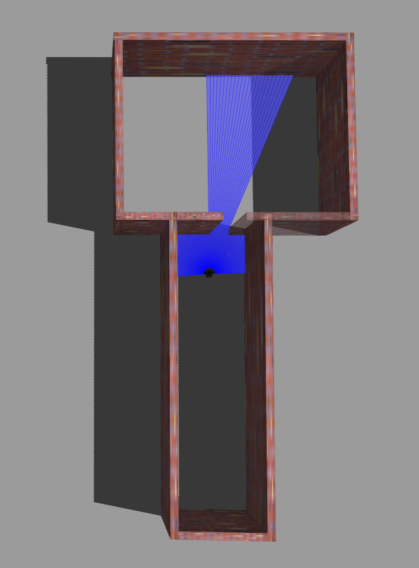
Doorway scene
Doorway scene
Wrong example
Wrong: entering head-on
Correct example
Correct: entering sideways

Turning Corners

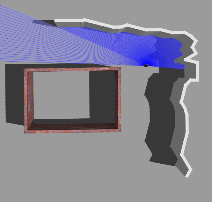
  • Wrong example: walking straight ahead loses the field of view of the lower-left wall, leaving the laser point cloud without reference objects and prone to inaccuracy.
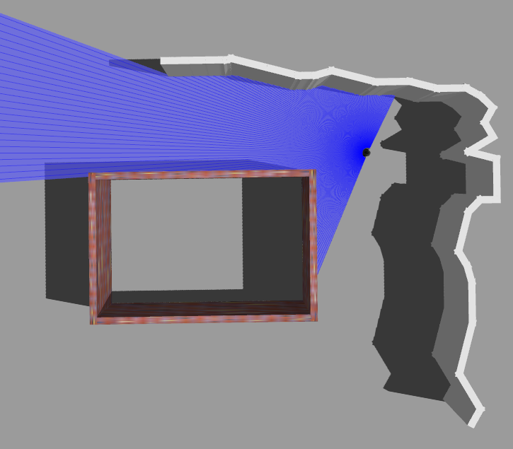
  • Correct example: turn your body at an angle when cornering, so the laser scans both the lower-left wall and the right-side contour at the same time, better connecting the data.
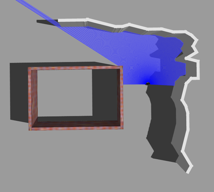
Corner scene
Wrong: walking straight
Corner wrong
Wrong: losing wall view
Corner correct
Correct: turn sideways

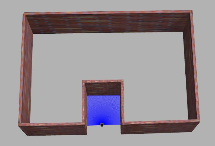
Entering and Exiting Narrow Spaces

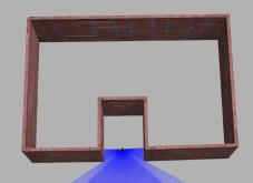
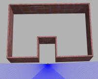
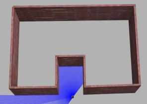
When exiting after scanning a narrow space, check whether there are enough reference objects during scanning and whether the structural features are clear. If neither condition is met, when exiting, point the field of view at areas with good structural features as much as possible, and avoid large view changes.

  • Wrong example: turning around directly to exit causes missing reference objects and insufficient structural feature constraints.
  • Correct example: back out or exit sideways.
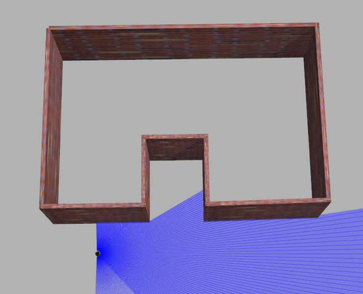
Narrow space scanning
Observe references
Observe reference objects
Enter narrow space
Enter the narrow space
Wrong: turn around to exit
Wrong: turning around to exit
Wrong: turn around to exit
Wrong: turning around to exit
Correct: back out or exit sideways

Ceiling and Ground

In narrow areas, due to the LiDAR's FOV limits, tilt the device appropriately (< 30°).

In constrained scenes, you can slowly tilt the device (> 30° and < 60°, for no more than 30 seconds) while relatively stationary to supplement scanning of the ground or ceiling.

Prev
Map Fusion
Next
Precautions